🆕 Spatio-Temporal Modeling of Surface Water Quality Distribution in California (1956-2023)

Abstract
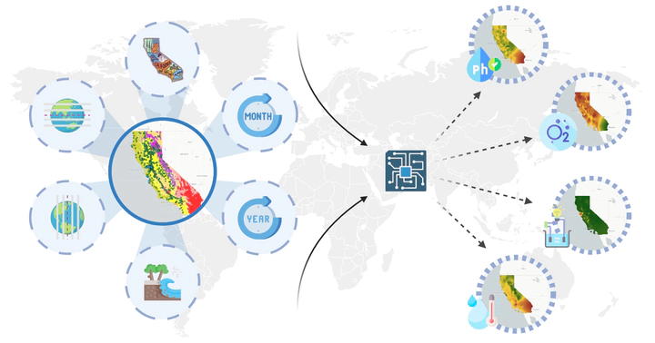
Surface water quality has a direct impact on public health, ecosystems, and agriculture, in addition to being an important indicator of the overall health of the environment. California’s diverse climate, extensive coastline, and varied topography lead to distinct spatial and temporal patterns in surface water. This study offers a comprehensive assessment of these patterns by leveraging around 70 years of data, taking into account climate zones and geographical types. We analyzed surface water quality indicators, including pH, dissolved oxygen, specific conductance, and water temperature, based on field results from approximately 5,000 water quality stations in California Water Quality Data (CWQD). Machine learning (ML) models were developed to establish relationships between spatial and temporal variables, climate zones, geographical types, and water quality indicators. Applying these models to spatially interpolate and temporally predict the four water quality indicators over California for the next 50 years, the research results indicate an uneven distribution of water quality indicators in California, suggesting the presence of potential pollution zones, seawater erosion, and effects of climate change.